


GPS Tracking For Bears – GPS Technology In Bear Tracking & Conservation
Have you ever wondered how bear tracker GPS technology is revolutionizing wildlife conservation? By reading this article, you’ll discover how this innovative tool helps us understand and protect bears. Learn about the technology’s features, benefits, and impact on bear research and management, ensuring these majestic animals thrive in our shared environment.
![]()
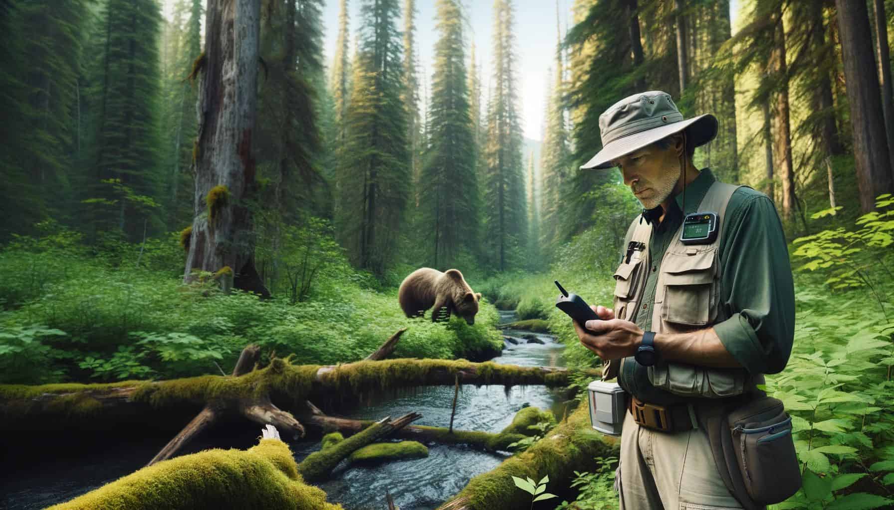
Photos courtesy of Montana Fish, Wildlife & Parks
Monitoring Bear Behavior With GPS Collars
GPS tracking devices and collars have transformed the way we study and monitor wildlife, offering invaluable insights into the lives of various species, including bears. These high-tech devices are designed to be durable and reliable, ensuring that they can withstand harsh conditions and remain functional for extended periods. GPS collars come with numerous features, such as real-time tracking, location accuracy, and data storage capacity, which enable researchers and conservationists to monitor the movements and behaviors of animals closely. The technology operates through satellite communication, continuously collecting and transmitting location data for further analysis. As a result, these innovative tools have significantly contributed to our understanding of animal habits, home ranges, and population dynamics. This wealth of information plays a crucial role in informing effective wildlife management strategies and conservation efforts, ultimately helping to protect and preserve these incredible creatures and their habitats for generations to come.
GPS Collar Animal Tracking Cheat Sheet
Feature/Aspect | Description |
What Is A GPS Animal Collar? | A device worn around the neck of an animal, equipped with GPS technology to track and monitor its location and movements in real-time. |
Cost Range | Typically ranges from $100 to $1000+, depending on features and technology level. |
How It Works | Uses satellite technology to determine the animal's position. Data is either stored and downloaded later or transmitted in real-time. |
Battery Life | Varies from a few weeks to several months, depending on the model and usage. Some bear trackers can last years! |
Durability | Designed to be rugged and weather-resistant, suitable for the harsh conditions in which bears and other wildlife live. |
Data Collection | Can include location, movement patterns, and may integrate with other sensors to monitor health or environmental data. |
Safety Features | Often equipped with breakaway mechanisms or biodegradable materials for the animal's safety if the collar gets caught. |
Size & Weight | Tailored to fit the species without hindering movement; for bears, collars are larger and sturdier. |
Bear Tracking | Used for monitoring bear habitats, movement patterns, managing human-bear conflicts, and research into bear behavior and ecology. |
10 Key Benefits Of GPS Tracking Collars For Bears
- Enhanced understanding of bear movements, revealing valuable information about their habits and behavior.
- Identification of home ranges, allowing for better habitat management and conservation efforts.
- Improved bear management, ensuring the safety of both bears and humans in shared environments.
- Easier monitoring of individual bears, including female bears, for targeted research and conservation.
- Promotion of wildlife management programs, contributing to the overall health and sustainability of ecosystems.
- Prevention of human-bear conflicts by identifying bear locations and reducing access to human food sources.
- Increased public awareness and education through initiatives like the Yosemite Conservancy’s education center.
- Support for research teams, such as the Yosemite bear team, in their ongoing efforts to keep bears wild.
- Facilitation of innovative solutions for bear-proof storage, like gas tanks and Amazon store packages.
- Potential integration with other tracking technologies for comprehensive wildlife monitoring.
Bear Tracker Success Stories
Yosemite National Park Bear Management Program
One notable case study on GPS tracking bears is the Yosemite National Park bear management program. This initiative focuses on reducing human-bear conflicts and keeping bears wild. By using GPS collars, the Yosemite bear team has successfully monitored bear movements and gathered essential data on their behavior.
Aspect | Yosemite National Park Bear Management Program |
Application of GPS | Real-time monitoring and mapping of bear movements across Yosemite. |
Financial Impact | Nearly $279,000 donated to bear-specific GPS projects in the past decade, and over $2M for other bear-related projects. |
GPS Tracking Goals | Encourage natural bear behavior, reduce human-bear conflicts, and promote healthy coexistence. |
Results | Substantial reduction in bear-related incidents in the park, from 1,584 in 1998 to 55 in 2021. |
Targeting | Fewer than 25 of the 300 to 500 bears in Yosemite are targeted for tagging or collaring, based on their interactions with humans. |
Ranger Responses | Rangers respond to GPS alerts to prevent bears from entering campgrounds or parking lots, promoting aversion to human presence. |
Conservation Outcomes | GPS tracking contributes to a shift in bear behaviors towards natural habits and avoidance of human areas. |
Learn more about Yosemite Conservancy
Another success story comes from the Scandinavian Brown Bear Research Project. This long-term study has tracked brown bears for over 30 years, resulting in numerous scientific publications and a better understanding of brown bear ecology. GPS collars in this project have allowed researchers to collect detailed data on bear habitat use, reproduction, and survival.
Aspect | Scandinavian Brown Bear Study Details |
Study Focus | Studying demography, life history, density, and composition of brown bears in Scandinavia. |
Methods Used | GPS/VHF-collaring, den surveys, scat sampling, habitat surveys, berry monitoring, and study of human-bear interactions. |
GPS Tracking Goals | Document changes in bear populations in relation to climate, environment, management, and land use. |
Funding | Funded by the Swedish Environment Agency and the Norwegian Environment Agency. |
Study Areas | Conducts field-based work in Southern (Dalarna, Gävleborg, and Jämtland) and Northern (Norrbotten) Scandinavia. |
Wildlife Management Studies | Includes studies on hunting methods, interactions with other wildlife, and effects on local ecosystems. |
Community Involvement | Collaborates with administrative authorities, hunting associations, Sami people, and locals. |
Learn more about the Scandinavian Brown Bear Research Project
Grizzly Bear Recovery Project
In this final example of our exploration into GPS tracking of bears, we turn our attention to the Grizzly Bear Recovery Project in Montana. This initiative stands out for its significant role in the conservation and management of grizzly bear populations. With strongholds in both the Northern Continental Divide and Greater Yellowstone Ecosystems, Montana’s efforts are focused on enhancing connectivity between these populations. The project aims to balance the growth and expansion of grizzly bear habitats with the challenges of increasing bear-human interactions. The use of GPS tracking technology is a cornerstone of this project, providing invaluable data for effective wildlife management and community safety strategies.
Grizzly populations are healthy but isolated in specific ecosystems. This isolation limits their genetic diversity and overall health. To understand their movement, Montana’s Fish, Wildlife and Parks Department (FWP) uses GPS tracking. They’ve gathered data from 124 GPS-collared male grizzlies in the Northern Continental Divide Ecosystem from 2000 to 2015.
This data reveals how bears navigate the landscape, considering habitat and human presence. It shows various potential routes for bears to travel between ecosystems. GPS tracking is crucial for wildlife managers. It guides decisions on habitat conservation and conflict minimization.
Funding for the project supports FWP biologists in collaborating with communities and landowners. They aim to reduce bear attractants and educate people about coexisting with expanding grizzly populations. The funds also aid in deploying bear lockers, electric fencing, and educational tools like bear charging robots. This project is a delicate balance of protecting grizzly bears and ensuring human safety.
Aspect | Grizzly Bear Recovery Project Details |
Financial | $150,000 for grizzly bear recovery in Montana, focusing on connectivity between populations in the Northern Continental Divide and Greater Yellowstone Ecosystems. |
Human-Bear Coexistence | Addressing challenges of bears expanding into human-populated areas, including farming and ranching lands. |
Funding Uses | Supporting biologists, bear lockers, GPS collars, electric fencing, and educational tools like bear charging robots and trailers. |
Distribution and Tracking | Map showing the distribution of grizzly bears in Montana and GPS tracking of bear movements for better wildlife management. |
Research and Technology | Utilizing GPS tracking for population studies, habitat conservation, and conflict minimization strategies. |
Public Education | Educating communities and outdoor recreationists on safe coexistence with expanding grizzly bear populations. |
Population Connectivity | Studying potential pathways for male grizzly bears to move between ecosystems for genetic diversity and health. |
How GPS Tracking Has Informed Policy And Conservation Strategies
GPS tracking has significantly influenced policy and conservation strategies, providing crucial insights into bear behavior, habitat use, and population dynamics. By monitoring bear movements, researchers can identify critical habitats, wildlife corridors, and areas prone to human-bear conflicts. This valuable information enables wildlife managers and policymakers to develop targeted, evidence-based conservation plans that protect both bears and their ecosystems.
One example of GPS tracking informing policy is the establishment of wildlife corridors. By analyzing bear movements and spatial data, researchers can pinpoint areas where bears frequently cross roads or come into contact with human populations. These findings can inform the construction of wildlife crossings and the implementation of traffic calming measures, ensuring safer passage for bears and reducing the risk of vehicle collisions.
In addition to infrastructure improvements, GPS tracking data can inform land-use policies and conservation zoning. By identifying essential habitats and areas of high bear activity, policymakers can prioritize land protection and develop regulations that minimize the impact of human activities on bear populations. Ultimately, GPS tracking technology plays a pivotal role in shaping policy and conservation strategies, fostering a more sustainable coexistence between humans and bears.
Frequently Asked Questions
What Time Of Day Do Black Bears Come Out?
Black bears are typically most active during dawn and dusk. However, their behavior can change depending on food availability, weather, and human activity. According to the Yosemite Conservancy, in Yosemite National Park, bears have adjusted their schedules to avoid humans and access human food more effectively.
Are There Bears Where I Am?
To determine if bears are in your area, check for signs such as tracks, scat, and claw marks. You can also consult local wildlife management authorities or utilize GPS collars and tracking technology to monitor bear locations and movements.
How Long Should You Wait To Track A Bear?
When tracking a bear, it’s crucial to give them enough time to move away from its initial location. This ensures you’re not disrupting their natural behavior. The Yosemite bear team typically waits about 30 minutes before following a GPS-collared bear.
Can Bears Track By Scent?
Absolutely! Bears have an incredible sense of smell, allowing them to locate food and mates from miles away. They can even detect stored food inside a gas tank or an Amazon store package!
How Do You Track Black Bears?
Tracking black bears often involves identifying their home ranges, which can vary greatly among individual bears. In Yosemite National Park, the bear management program uses GPS collars to track bears and analyze their movements. You can follow Yosemite’s bears through the Yosemite Conservancy’s education center.
Continued Learning: In Alaska, the Kenai Peninsula Brown Bear Study used GPS tracking to investigate the effects of human activities on bear populations. The research highlighted the importance of wildlife corridors and identified critical habitats, ultimately contributing to the development of more effective conservation strategies.

- Best Car GPS Tracker - October 25, 2023
- How GPS Works - October 8, 2023
- Who Invented GPS - October 6, 2023
Contents
- GPS Tracking For Bears – GPS Technology In Bear Tracking & Conservation
- Monitoring Bear Behavior With GPS Collars
- Bear Tracker Success Stories
