


About Us
Trusted GPS Tracking Experts Since 2008
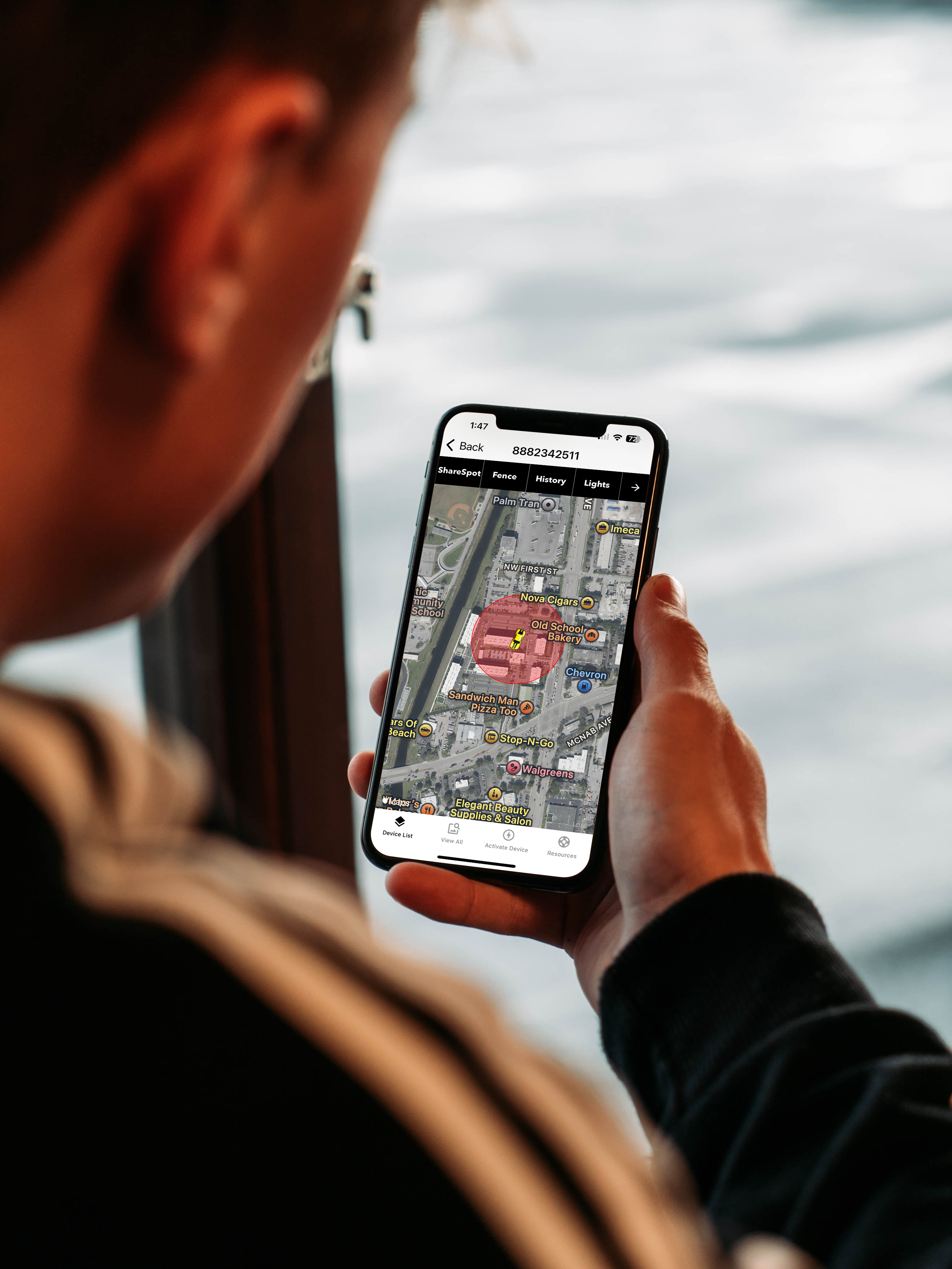
Located in sunny Southern California, Tracking System Direct offers straightforward, reliable GPS tracking solutions. We help everyone—from everyday users to businesses and law enforcement—stay connected and secure. No matter your needs, you can count on us to deliver.

Team Work
Customer Satisfaction
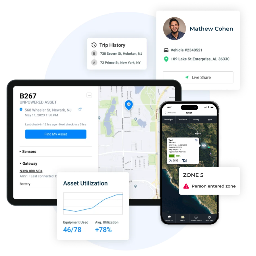
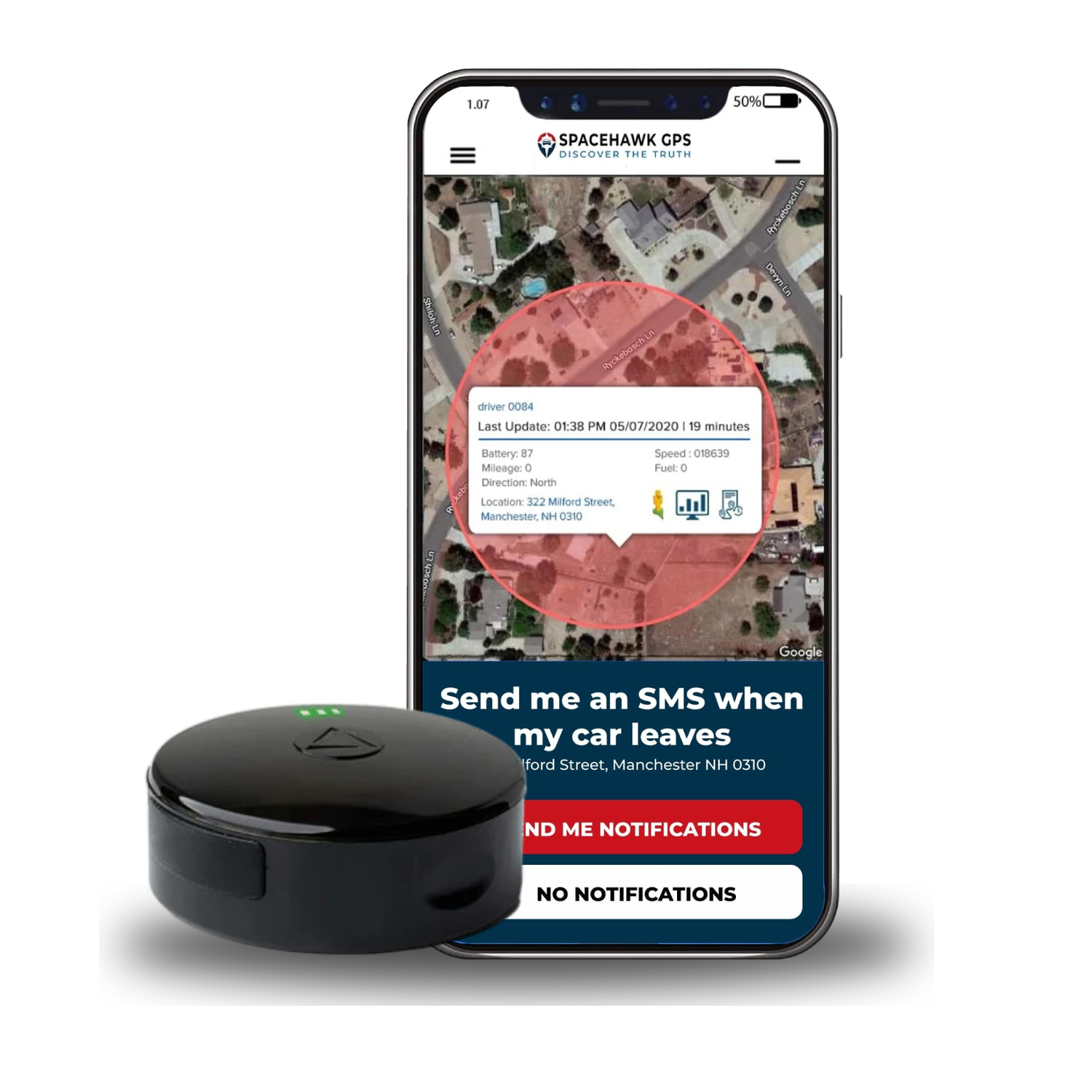
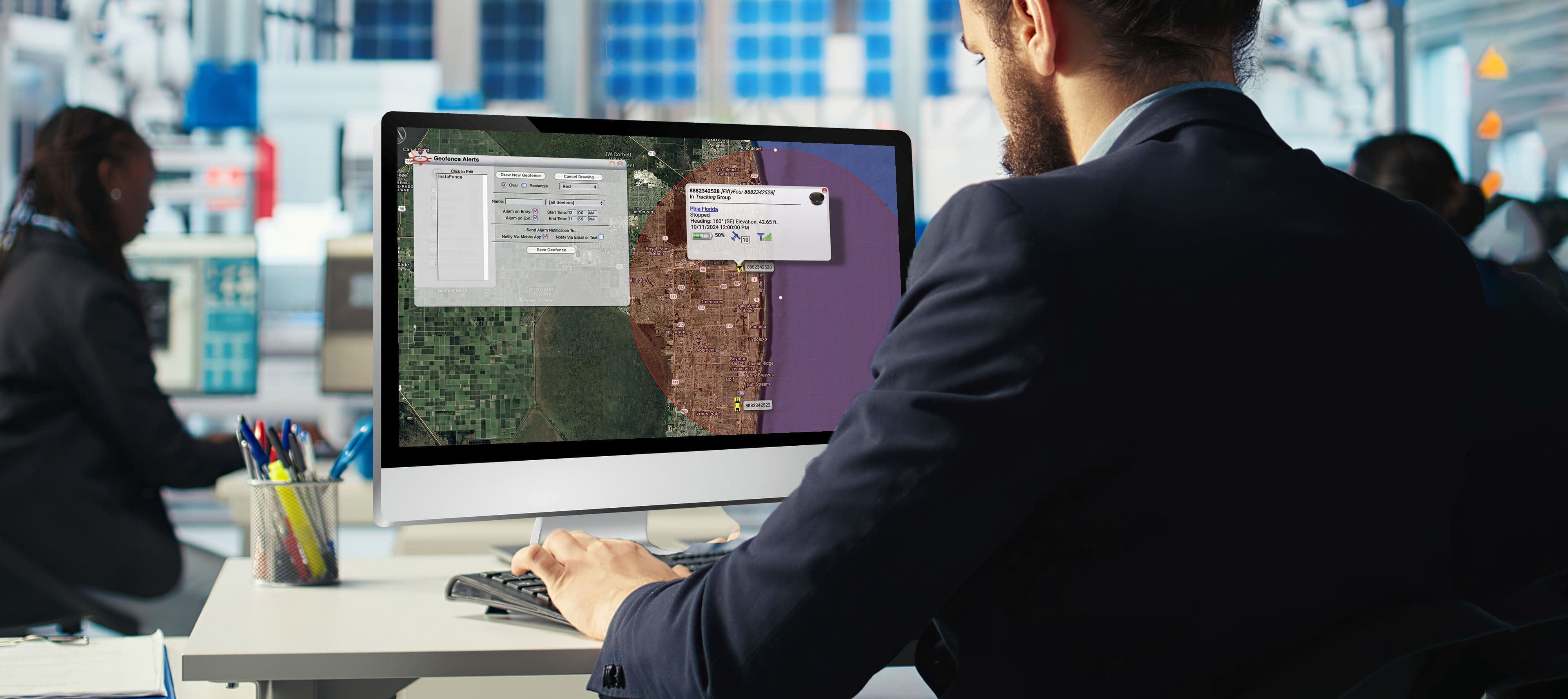
- #1 Rated GPS tracking app on Google Play & Apple Store
- Reliable support – Real people, ready to answer your questions and walk you through setup
- Millions of devices sold – Proven GPS solutions used to protect vehicles, equipment, and loved ones.